Welcome to the AI4NGOs Platform
- 00902126217973
- İstanbul, Türkiye
- info@ai4ngos.org

Welcome to the AI4NGOs Platform

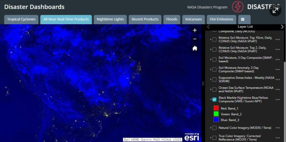
The NASA Disasters Program is a NASA program that aims to provide satellite data to assist governments and humanitarian organizations in managing natural disasters. It provides real-time maps and data on floods, earthquakes, fires, and more. The program supports improved disaster response through advanced monitoring and analysis tools freely available to humanitarian actors.
Humanitarian organizations use the NASA Disasters Program to monitor areas affected by natural disasters using high-resolution satellite data. The program helps determine the extent of damage and direct relief teams to areas of greatest need, improving resource allocation and saving lives. It is also used to prepare risk assessment maps to aid in pre-planning to reduce the impact of future disasters on vulnerable communities.
Provides high-resolution satellite data, real-time updates, interactive maps, and a support network for data users in emergencies.
Relies on expert interpretation and analysis of satellite data to reach accurate conclusions.
Free
Failure to use it leads to poor risk assessment and rapid and efficient targeting of relief efforts.