Welcome to the AI4NGOs Platform
- 00902126217973
- İstanbul, Türkiye
- info@ai4ngos.org

Welcome to the AI4NGOs Platform

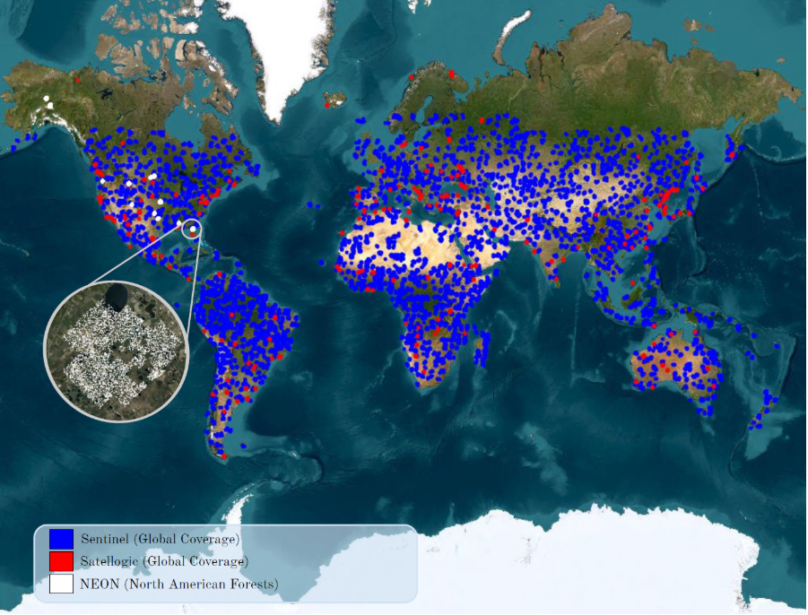
Satellogic AI provides high-resolution satellite data via a network of small satellites, enabling real-time monitoring of terrestrial changes. It offers AI solutions for rapid and accurate satellite image analysis. Its technologies are used to support smart agriculture, disaster management, urban planning, and environmental monitoring with high efficiency.
Humanitarian organizations can use Satellogic AI to monitor areas affected by conflict or natural disasters and quickly analyze damage. The tool helps plan relief operations more accurately through up-to-date imagery and accurate spatial analysis. It also supports long-term planning for sustainable development programs by monitoring the environment and land use change.
Satellogic AI offers high-resolution satellite imagery with frequent updates, intelligent image analysis solutions, customized reports, and support for Earth and Environmental Observation projects.
Subscription costs may be high for small projects or occasional use.
$8 per square kilometer, with discounts available for long-term commitments.
Without Satellogic AI, field damage assessment becomes slower and less accurate, hindering rapid response.